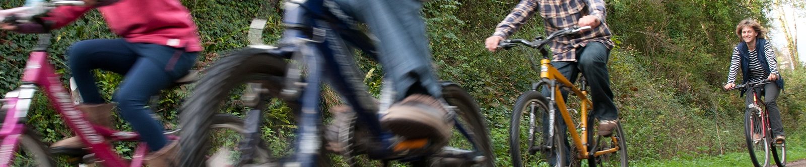
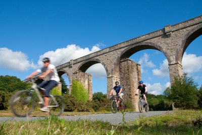
Cycle Trails
Hire a bike and uncover the trails of Cornwall.
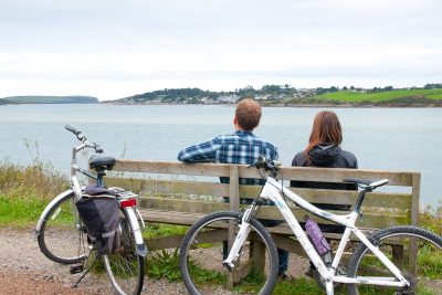
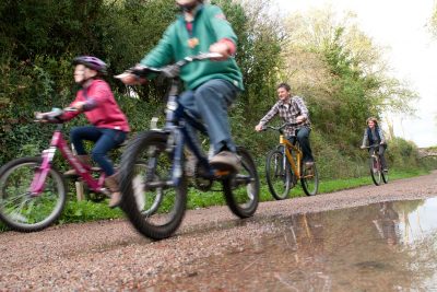
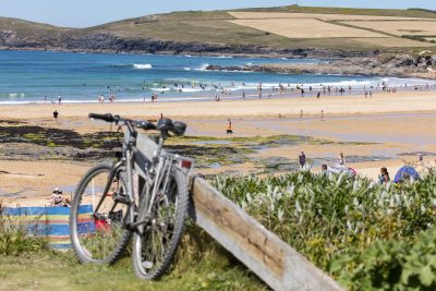
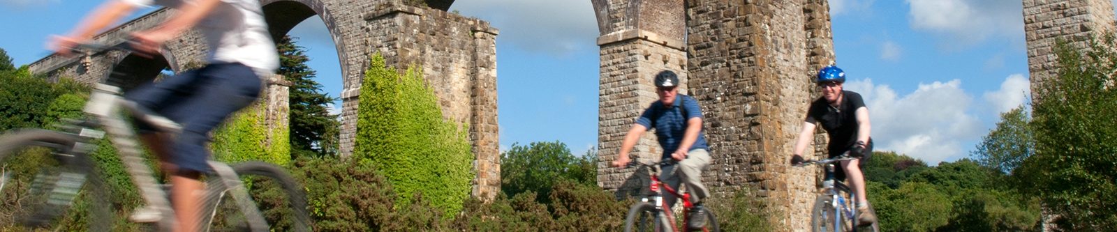
Grab a bike and explore!
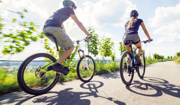
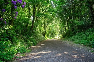
Cornwall is perfect for exploring by bike; old tramways, rail routes and heritage coastline have been conserved to allow for miles of off-road trails. Passing through ancient woodlands, nature reserves and former tin mine country, the routes are varied and often full of wildlife.
Bike hire is usually available close to the trails, and there are plenty of refreshment stops along the way. With many routes, it’s also possible to opt-in for just part of the way, take a circular trail, or catch the bus one way and cycle back.
Download a copy of the Countryside Code.
Bringing your own bike?
The following properties have cycle racks:
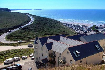
- St Merryn, Padstow
- 2 bedroom villas
- Cycle rack
There are 240 tours within a 10 mile radius of Padstow.
- Watergate Bay
- 1, 2 & 3 bedroom apartments
- Cycle rack
There are 296 rides within a 10 mile radius of Watergate Bay.
- Porth, near Newquay
- 1, 2 & 3 bedroom villas/apartments
- Cycle rack
There are 301 tours within a 10 mile radius of Newquay.
- Penpillick, Par
- 2 bedroom cottages
- Cycle rack
There are 289 tours within a 10 mile radius of Par.
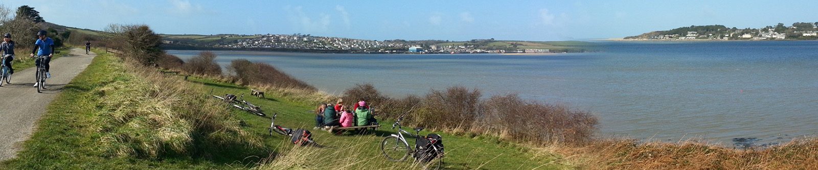
The Camel Trail
Following a disused railway line once used by the London and South West Railway, the Camel Trail is one of the most popular cycle routes in the country.
It offers an 18-mile (29km) trail full of spectacular views of moorland, woodland, the estuary and its plethora of wildlife.
It runs from Padstow to Wenford Bridge, via Wadebridge and Bodmin. An off-road, fairly level route, making it ideal for families and less experienced cyclists.
Bissoe Trail
A coast-to-coast route, spanning 11 miles (18km) from Portreath on the north coast to the village of Devoran on the south. This route passes through the Bissoe Valley Nature Reserve.
The trail follows the tramways once used to transport ore from the mines.
It has some quiet lanes and is generally off-road and flat, but has been graded as challenging.
Cardinham Woods
If you’re up for a bit of an adrenaline rush, then Cardinham Woods offers a fantastic opportunity for off-road cycling.
Bodmin Beast, 6 mile (9.5km) – A technical, single-track trail around the slopes and woods of Cardinham Valley. Great for mountain bike enthusiasts and those with some experience (blue grade).
Hell’s Teeth, 1 mile (1.6km) & Dialled in Dave, 0.5 miles (0.7km) – For the pro riders, there’s the added option of an extra challenging part of the course with steep sections and tough climbs (red grade).
The Goss Moor Trail
The 7-mile (12km) circular trail takes you past the 480-hectare Goss Moor National Nature Reserve and is great for wildlife lovers. There is a lot to see and do as you explore Goss Moor using this multi-use trail.
It is mostly flat and relatively easy, as much of it is off-road, allowing novice cyclists easy and safe access to the moors. There are also additional and linking routes onto the nearby Tregoss Moor.
Download a Goss Moor Trail Guide.
The Clay Trails
A series of quiet pathways following the old routes from China clay mines to the ports around St Austell. Great for wildlife and for exploring beautiful and fascinating areas such as Luxulyan Woods. The trails include a few circular options.
Bodelva View Circular Route
An easy off-road circular route which incorporates the Eden to Wheal Martyn and Eden to Bugle Clay Trails.
Download the free map.
Carclaze Loop
This circular route takes you up to the top of one of the highest hills overlooking St Austell – a great way to blow away the cobwebs. Travel back in time through the beautiful and unique landscape of clay mining.
Download the free map.
Pentewan Valley Trail
This is an accessible and flat trail which connects St Austell with the coastal village of Pentewan.
Download the free map.
St Austell Circular
A challenging circular route up into the hills surrounding the clay area.
Download the free map.
Eden Project to Wheal Martyn
This 5-mile trail crosses heathland and woodland. It also passes by working mines and clay pits.
Download the free map.
Wheal Martyn to St Austell
This 1.9-mile trail is a great one for all ages to enjoy. Known as the Green Corridor, this trail has some interesting mining heritage features to spot along the way.
Download the free map.
Wheal Martyn to Sky Spur
This challenging 2-mile route wends it way through the rugged landscape of Cornwall. On a clear day, you’ll have incredible views from Sky Spur.
Download the free map.
Eden Project to Bugle
This off-road 3.5-mile trail winds its way through beautiful heathland and woodland, and past a large fishing lake.
Download the free map.
Par Beach to Eden Project
This route offers varied scenery – the coastline through the clay villages and on to the Eden Project. Whilst this trail has a fairly easy start to this 4-mile trek, you’ll find a steep final ascent up to the Eden Project.
Download the free map.
Mining Trails
The Mineral Tramways Trails are a network of traffic-free trails centred around Camborne and Redruth. They offer 37.5 miles (60km) of adventure and discovery for cyclists. Why not enjoy days out discovering something new at every turn – the remarkable remains of the area’s 19th-century mining, exceptional wildlife, and varied landscapes with stunning views.
The Coast-to-Coast Trail
This is the longest of the Mineral Tramways Trail taking in 11 miles (17.5 km) of breathtaking Cornwall, but can easily be covered in a day. It stretches from the North Coast harbour town of Portreath and passes through a range of scenery from coastal to woodland and heath, through Cornwall’s mining heartland to the South Coast port of Devoran.
Download the individual trail map.
The Great Flat Lode Trail
This circular trail is 7.5 miles (12km) long and takes in many of the fine old mine workings. It’s named after the rich deposits of tin that were originally discovered here in the 1860s.
Download the individual trail map.
The Tehidy Trail
This short 2.5-mile (4km) trail is set within the confines of Tehidy Country Park and is very popular with families.
Download the individual trail map.
The Portreath Branchline Trail
This 5.5-mile (8km) trail connects the harbour at Portreath to the village of Brea, just south of Camborne. It links into the Great Flat Lode Trail at Brea, to the Tehidy Trail near East Lodge and the Coast to Coast Trail at Portreath. Please note that this trail is not completely off-road and has several sections using highways. It also passes through some built up urban areas as it gets nearer to Pool.
The Redruth & Chacewater Railway Trail
This 7.7 mile (12.4 km) trail is based on the route of The Redruth & Chasewater Railway which transported copper from the mines of Gwennap to near the port of Devoran for shipping. The trail starts near the Great Flat Lode trail and joins the Coast to Coast trail at Twelveheads. This section covers fairly high ground with good views at Carn Marth. The landscape varies from woodland to exposed heath and moorland.
Download the individual 1trail map.
The Tresavean Trail
The trail here runs for 1.1 miles (1.8km) and roughly follows the Tresavean branch of the Hayle Railway. It covers fairly high ground, but the trail is generally level and all of it is off-road.
Download the free mining trails map.
The Cornish Way Trails
The Cornish Way provides a total of 180 miles (290km) for walkers and cyclists to explore Cornwall.
The Engine House Trail – Hayle to Truro
This trail is 24 miles (38.7km) long. Leaving Hayle it follows quiet minor roads to Camborne before using a largely traffic-free route to Redruth. From there the trail passes through Carharrack before joining old tramway routes to Bissoe and on to Truro.
Download the map of The Engine House Trail with further information about the trail.
The First and Last Trail – Land’s End to Hayle
This trail is 25 miles (39.6 km) long and a mixture of both off- and on-road sections, much of it is hilly and is shared with vehicles and pedestrians. The first section from Land’s End is suitable for families and cyclists. However, it should be noted that there is a steep on-road section to access Sennen. The section between Penzance and Marazion is off-road and is suitable for less experienced cyclists and families.
Download the map of The First and Last Trail with further information about the trail.
The St Piran Trail – Truro to Bodmin via Newquay
This trail is 34.5 miles (55km) long and from Truro, it follows minor roads through the village of St Newlyn East before reaching Newquay. From there the route heads inland to St Columb Major. It then travels north to the coastal village of Padstow. The trail emerges on the banks of the River Camel estuary. It then joins the Camel Trail which leads into Bodmin.
Download the map of The St Piran Trail with further information about the trail.
The North Cornwall Trail – Bodmin to Devon via Bude
This trail is 40.5 miles (64.6km) long. The first part of this route follows the upper part of The Camel Trail out of Bodmin and onto Bodmin Moor’s quiet lanes and wends its way to Camelford. Parts of this trail give you panoramic views across to the coast, then dips back into more sheltered valleys. It is possible to choose from a strenuous route via the coast, or an easier inland route.
Download the map of The North Cornwall Trail with further information about the trail.